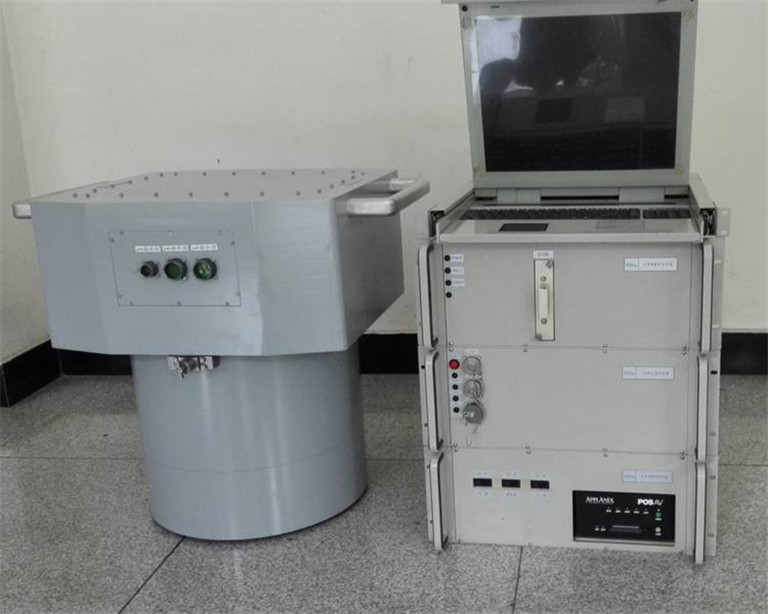
The high-resolution area-array digital aerial camera adopts a high-precision panchromatic + single-color module configuration, enabling the acquisition of remote sensing data characterized by high geometric accuracy, a wide field of view, and large-format imaging. Its geometric imagery can serve as fundamental geometric image data support for applied research on other remote sensing equipment, as well as for experimental research on the fusion of data from multiple remote sensing devices. It provides technical support for conducting in-depth research on multi-sensor remote sensing data fusion and comprehensive application technologies.
This camera is primarily used for research on geological disasters, vegetation coverage, ecological environments, and other related areas. It also offers geometric image data support for applied research on other remote sensing equipment and for the fusion of data from multiple remote sensing devices. Additionally, it can be widely applied in various fields such as surveying and mapping, urban planning and construction, land and resource surveys, road site selection, and water conservancy construction.