From September 26th to 28th,the 3rd (Expanded) Meeting of the 1st Session of the Users'Committee for National Major Science and Technology Infrastructure - the China Remote Sensing Satellite Ground Station and the Chinese Aeronautic Remote Sensing System (the Facility Users'Committee) was held,along with a site visit,at the Lijiang Station in Lijiang City,Yunnan Province.
Twelve committee representatives from 12 institutions, including the 54th Research Institute of China Electronics Technology Group Corporation and the Institute of Mountain Hazards and Environment, Chinese Academy of Sciences and Ministry of Water Resources, as well as 14 specially invited userrepresentatives from 12institutions such as the Satellite Environment Application Center of the Ministry of Ecology and Environment, attended the meeting. Academician Wu Yirong of the Chinese Academy of Sciences and President of the Aerospace Information Research Institute (AIR), as well as Zhang Bing, Vice President of AIR, were present at the event.
On the 27th,the 3rd (Expanded) Meeting of the 1st Session of the Facility Users'Committee was convened,chaired by Hu Yanfeng,Director of the Science and Technology Department at AIR.
During the opening ceremony,Wu Yirong first welcomed the experts from the Facility Users'Committee and the specially invited user representatives. He emphasized the value and necessity of constructing the two major scientific facilities and stated that only through exchanges with user experts and incorporating their opinions and suggestions could the full potential of these facilities be realized.
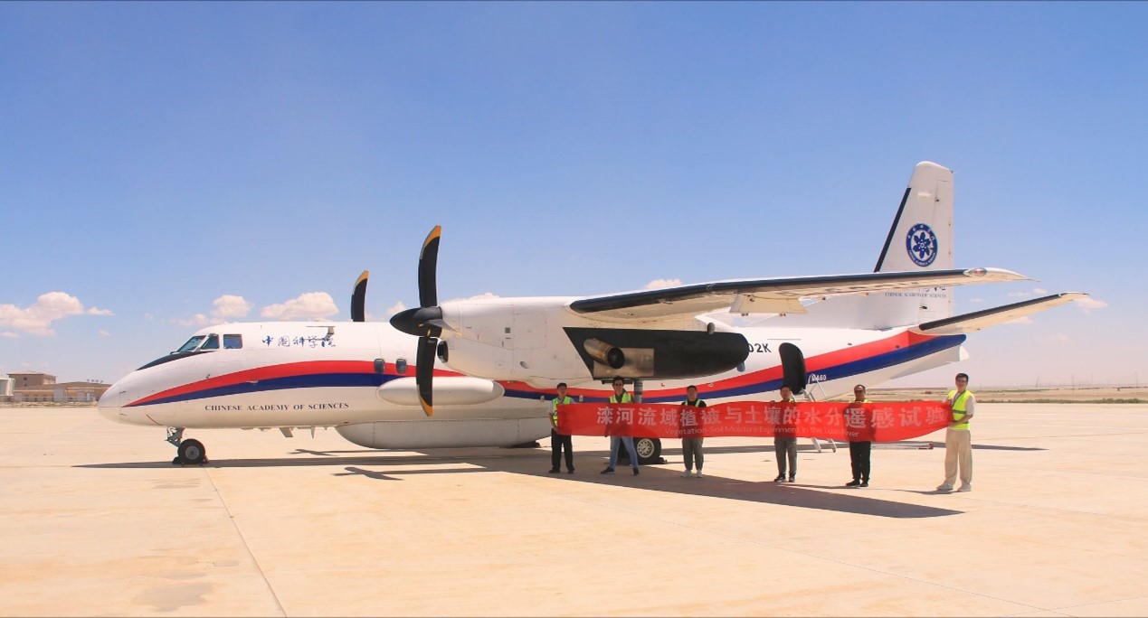
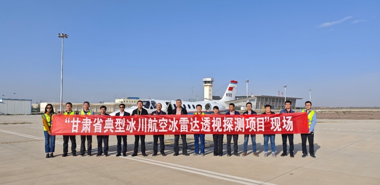
Subsequently, Wu Yewei, Deputy Director of the China Remote Sensing Satellite Ground Station and the facility leader, and Pan Jie, Director of the Aerial Remote Sensing Center, delivered special reports. You Dai'an, a researcher from the Satellite Environment Application Center of the Ministry of Ecology and Environment, and You Shucheng, a researcher from the Land Satellite Remote Sensing Application Center of the Ministry of Natural Resources, presented reports on the progress of ecological environment satellite applications, the space-air-ground sensing system for natural resources, and aerial remote sensing applications. They also conducted an on-site inspection of the construction and operation of the Lijiang Station.
The user experts fully acknowledged the progress made by the China Remote Sensing Satellite Ground Station in addressing major national needs, including the construction of a global satellite data receiving station network, high-efficiency response capabilities, star-ground laser communication capabilities, data product services, and data sharing. The high-quality outcomes achieved met the comprehensive application needs of China in resource management, environmental and ecological protection, disaster prevention and mitigation, and emergency response. The user experts also highly praised the work achievements of the Chinese Aeronautic Remote Sensing System over the past year, recognizing its significant progress in facility capability upgrades, data product generation quality, and efficiency improvements, all of which have contributed to the advancement and development of remote sensing technology in China and met major national needs.
Finally, Zhang Bing delivered the concluding remarks. He expressed gratitude to the Facility Users' Committee and the specially invited user representatives, stating that AIR hoped to better meet major national needs by integrating aerial and space-based capabilities through the coordination of the Facility Users' Committee. AIR would carefully consider the suggestions put forward by all user experts and work together with the Facility Users' Committee to strive for even greater achievements with the two major national scientific facilities.
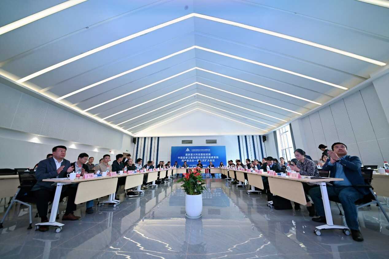
Presentation and exchange in the lecture hall
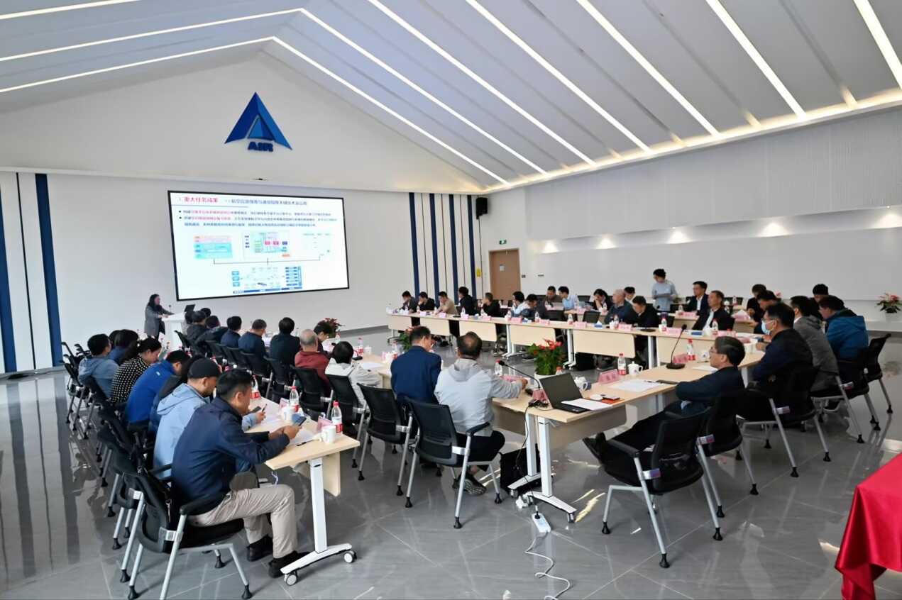
the site for presentations and interactions

A group photo of the attendees